SN7: Multi-Temporal Urban Development Challenge
The Problem
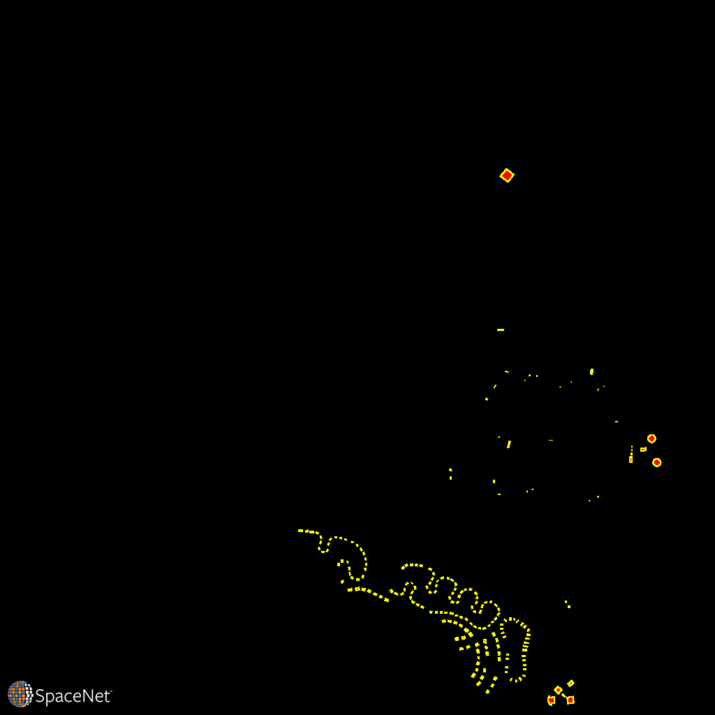
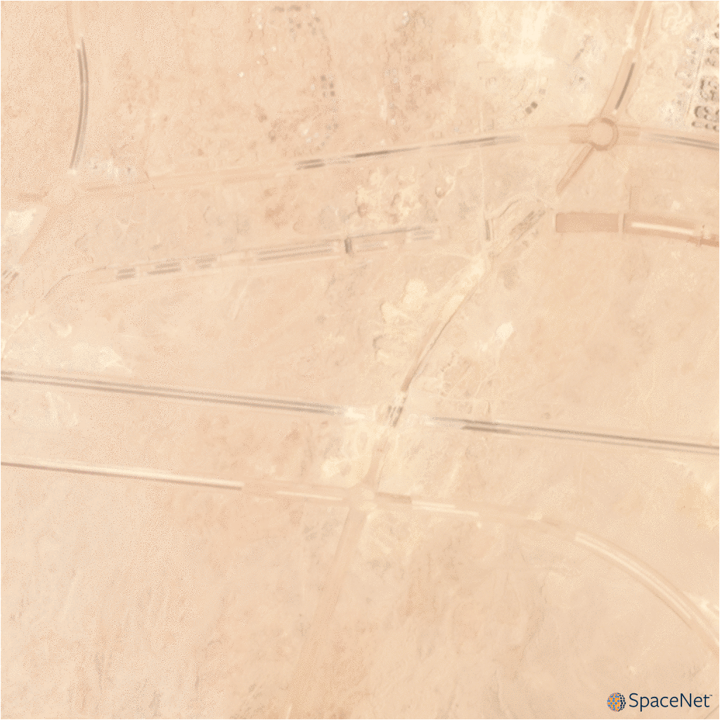
Satellite imagery analytics have numerous human development and disaster response applications, particularly when time series methods are involved. For example, quantifying population statistics is fundamental to 67 of the 232 United Nations Sustainable Development Goals, but the World Bank estimates that more than 100 countries currently lack effective Civil Registration systems. The SpaceNet 7 Multi-Temporal Urban Development Challenge aims to help address this deficit and develop novel computer vision methods for non-video time series data. In this challenge, participants will identify and track buildings in satellite imagery time series collected over rapidly urbanizing areas. The competition centers around a new open source dataset of Planet satellite imagery mosaics, which includes 24 images (one per month) covering ~100 unique geographies. The dataset will comprise over 40,000 square kilometers of imagery and exhaustive polygon labels of building footprints in the imagery, totaling over 10 million individual annotations. Challenge participants will be asked to track building construction over time, thereby directly assessing urbanization.
This Challenge has broad implications for disaster preparedness, the environment, infrastructure development, and epidemic prevention. Beyond the humanitarian applications, this competition poses a unique challenge from a computer vision standpoint because of the small pixel area of each object, the high object density within images, and the dramatic image-to-image difference compared to frame-to-frame variation in video object tracking. We believe this challenge will aid efforts to develop useful tools for overhead change detection and object tracking.
The SpaceNet 7 Challenge will be featured as a competition at the 2020 NeurIPS conference in December, where winning results will also be analyzed.
RELATED BLOGS
- SpaceNet 7 Results: arXiv Paper and Winning Model Release
- A Closer Look at the SpaceNet Change and Object Tracking (SCOT) Metric
- SpaceNet 7 Results: Overachieving Pixels
- SpaceNet 7 Results: ‘Tis the Season
- The SpaceNet 7 Multi-Temporal Urban Development Challenge: Announcing the Winners
- The SpaceNet 7 Multi-Temporal Urban Development Challenge Algorithmic Baseline
- The SpaceNet Change and Object Tracking (SCOT) Metric
- The SpaceNet 7 Multi-Temporal Urban Development Challenge: Dataset Release
- Announcing SpaceNet 7: The Multi-Temporal Urban Development Challenge
The Data – ~100 locations, spread out across the globe
| Category | Value |
| Num AOIs | 101 |
| Num Observations | 2389 |
| Num Buildings | 11,080,000 |
| Total Observed Area (km2) | 41,000 |
| Mean Buildings per Observation | 4,700 |
| Mean Building Area (m2) | 190 |
| Mean GSD (m) | 4.0 |
Catalog
The data is hosted on AWS as a Public Dataset. It is free to download, but an AWS account is required.
To explore the dataset:
aws s3 ls s3://spacenet-dataset/spacenet/SN7_buildings/ A sample is available at:
aws s3 cp s3://spacenet-dataset/spacenet/SN6_buildings/tarballs/SN7_buildings_train.tar.gz . Training Data
To download ~4km x 4km imagery data cubes with associated buildings footprint labels:
aws s3 cp s3://spacenet-dataset/spacenet/SN7_buildings/tarballs/SN7_buildings_train.tar.gz . aws s3 cp s3://spacenet-dataset/spacenet/SN7_buildings/tarballs/SN7_buildings_train_csvs.tar.gz . Testing Data
aws s3 cp s3://spacenet-dataset/spacenet/SN7_buildings/tarballs/SN7_buildings_test_public.tar.gz . License

The SpaceNet Dataset by SpaceNet Partners is licensed under a Creative Commons Attribution-ShareAlike 4.0 International License.