The SpaceNet Datasets
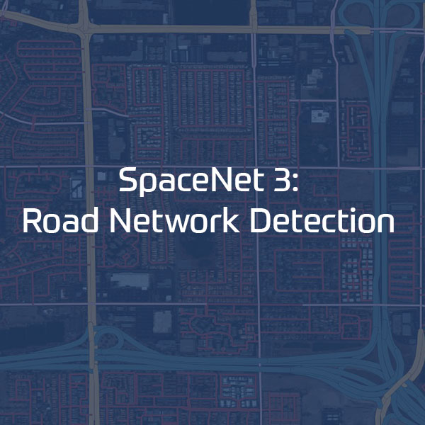
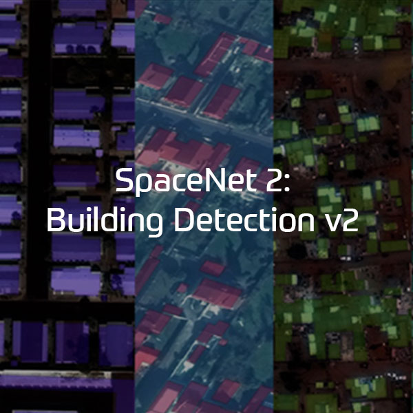
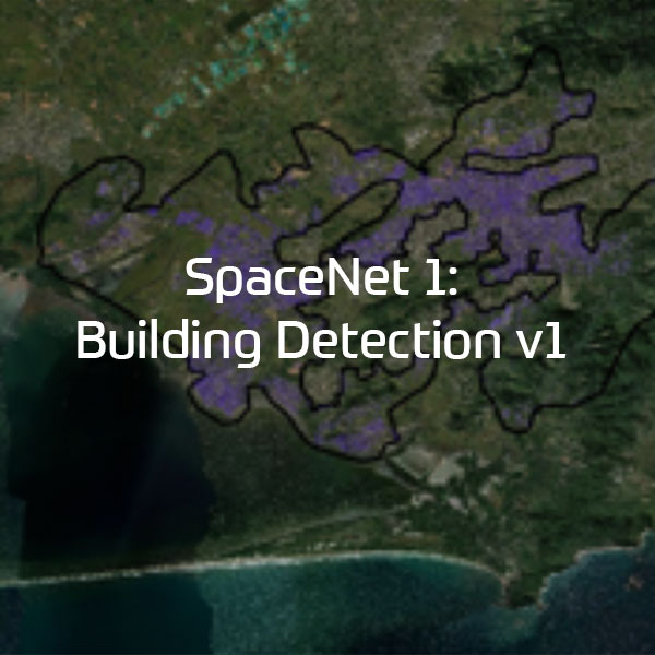
SpaceNet Challenge Datasets
The SpaceNet Dataset is hosted as an Amazon Web Services (AWS) Public Dataset. It contains ~67,000 square km of very high-resolution imagery, >11M building footprints, and ~20,000 km of road labels to ensure that there is adequate open source data available for geospatial machine learning research.
SpaceNet Challenge Dataset’s have a combination of very high resolution satellite imagery and high quality corresponding labels for foundational mapping features such as building footprints or road networks.
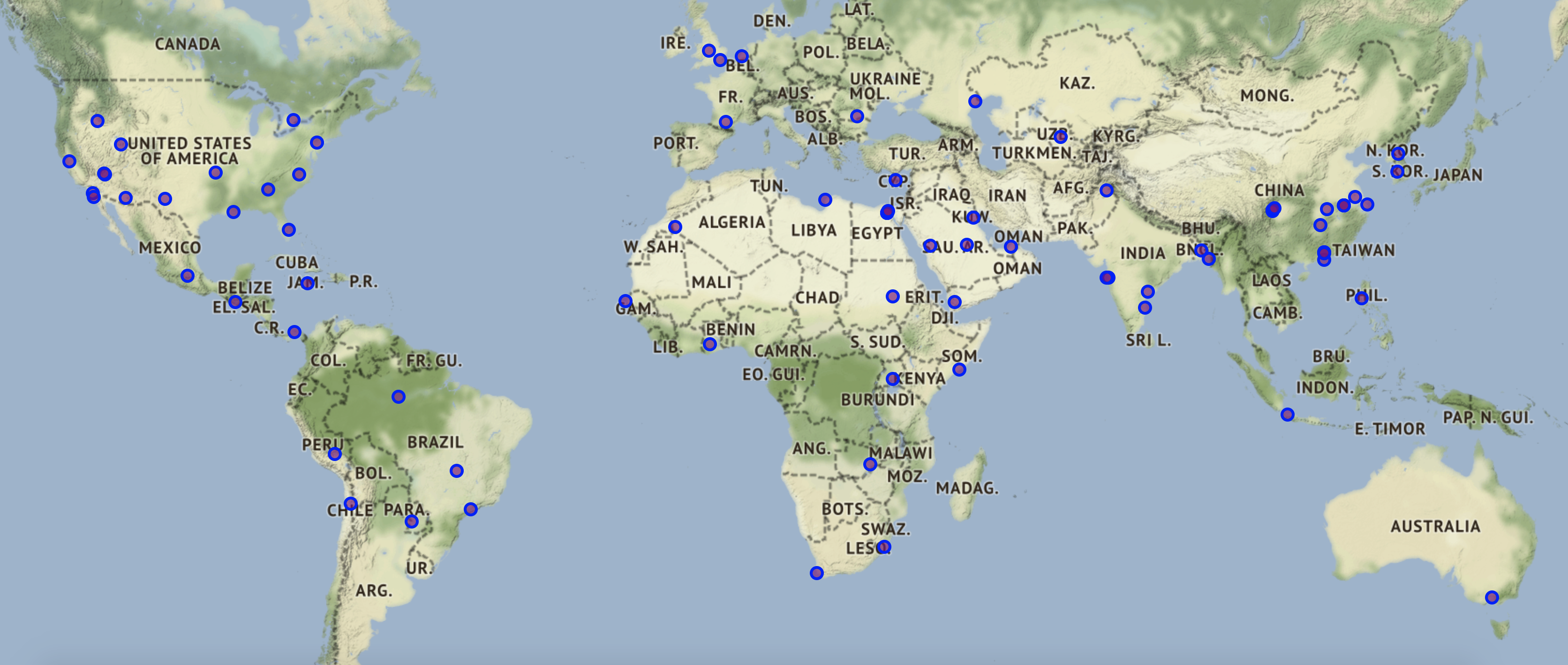
Geographic Datasets
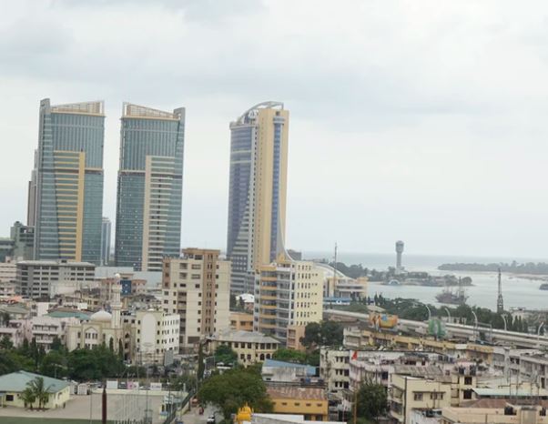
SpaceNet has data from many geographic areas of interest. Explore each area to see what type of data exists.


Other Hosted Competition Datasets
SpaceNet hosts outside datasets in the SpaceNet Repository, which are complimentary to the SpaceNet datasets. SpaceNet is committed to supporting these dataset’s to continue accelerating geospatial machine learning.


Dependencies
The AWS Command Line Interface (CLI) must be installed with an active AWS account. Configure the AWS CLI using ‘aws configure’
aws s3 ls s3://spacenet-dataset/
License
Each dataset has a different open data license. Please visit each Dataset page to view it’s license and citation terms. If data from the SpaceNet repository is used please also cite the SpaceNet Dataset using the preferred citation below.
Citation Instructions
If you are using data from SpaceNet in a paper, please use the following citation:
SpaceNet on Amazon Web Services (AWS). “Datasets.” The SpaceNet Catalog. Last modified October 1st, 2018. Accessed on [Insert Date]. https://spacenet.ai/datasets/