Accelerating Geospatial Machine Learning
SpaceNet delivers access to high-quality geospatial data for developers, researchers, and startups. Before SpaceNet, computer vision researchers had minimal options to obtain free, precision-labeled, and high-resolution satellite imagery. SpaceNet focuses on four open source key pillars: data, challenges, algorithms, and tools.
SpaceNet 9: Cross-Modal Satellite Imagery Registration
Swift and effective disaster response often relies on the integration and analysis of diverse remote sensing data sources such as electro-optical and Synthetic Aperture Radar (SAR). However, the co-registration of optical and SAR imagery remains a major challenge due to the inherent differences in their acquisition methods and data characteristics. SpaceNet 9 aims to address this issue by focusing on cross-modal image registration, a critical preprocessing step for disaster analysis and recovery. Participants in this challenge will develop algorithms to compute pixel-wise spatial transformations between optical imagery and SAR imagery, specifically in earthquake-affected regions. These algorithms will be evaluated for their ability to align tie-points across modalities, enabling better downstream analytics such as damage assessment and change detection.
Algorithm Repository
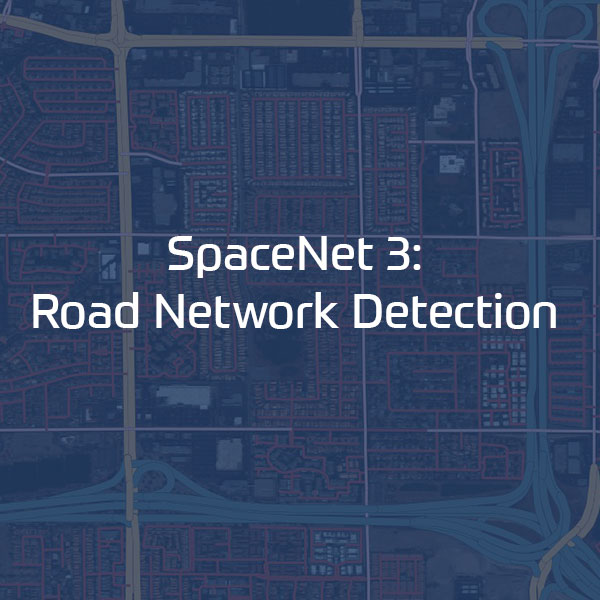
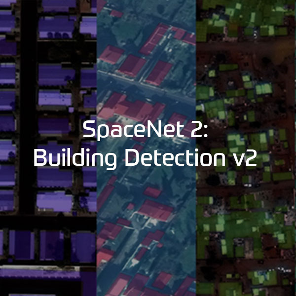
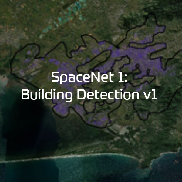
Explore algorithms used to solve SpaceNet challenges. These currently include 13 open source Building footprint and Road Network extraction problems.
Collaborators

Alumni Collaborators
IQT Labs’ CosmiQ Works
Co-founder & Managing Partner
Challenge Manager: SpaceNets 1-7
2016 – 2021
Capella Space
2019 – 2021
Intel AI
2018 – 2020
NGA
2016 – 2020
Planet
2019 – 2020